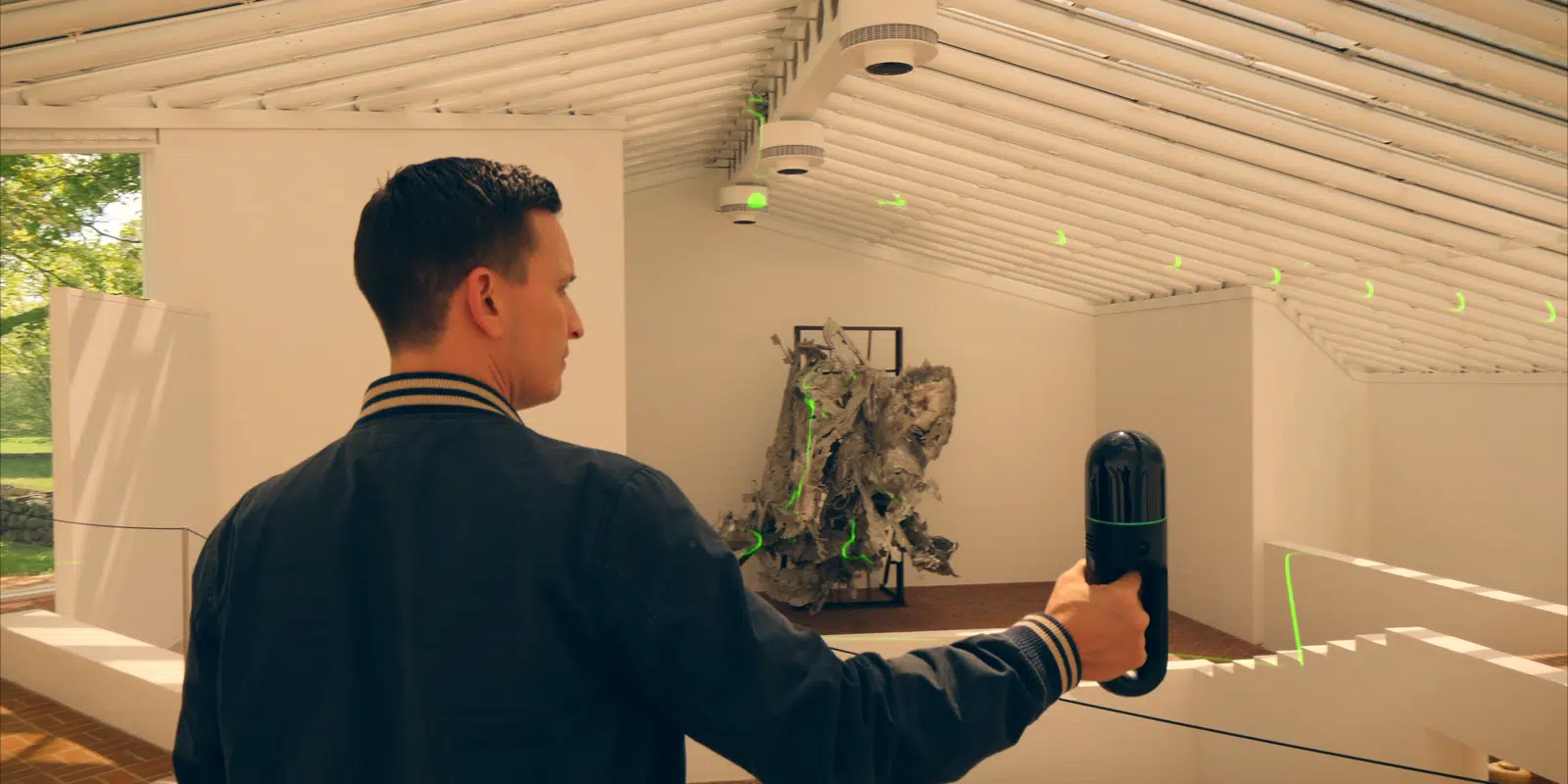
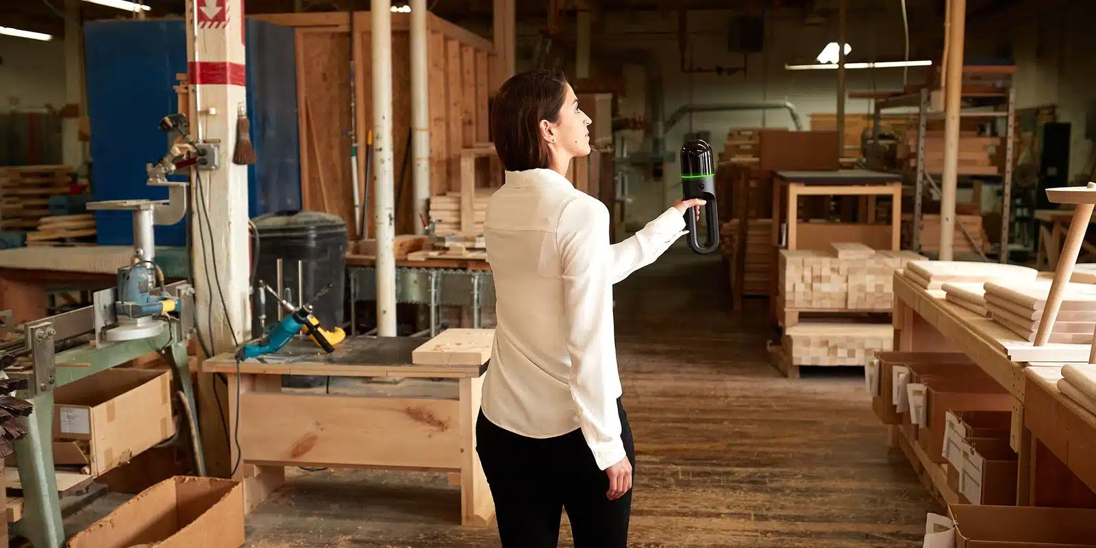
The BLK2GO captures 420,000 points per second and includes GrandSLAM technology: a combination of LiDAR SLAM, visual SLAM, and an IMU to orient itself in 3D space and scan while in motion. It is fully compatible with the Leica Geosystems Cyclone suite of Reality Capture software and offers unprecedented scanning speed to reality capture users in industries worldwide.
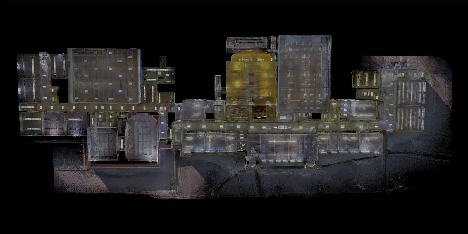

Streamlines the process of creating accurate as-built models for renovation, construction management, and building information modeling.

Efficiently maps large facilities for maintenance planning, space management, and asset tracking.

Detailed 3D tours of properties, enhancing marketing efforts, and aiding in property evaluations.

Captures precise data for city planning, infrastructure development, and transportation projects.
Capture an entire building, structure, or other large environment in minutes. All you need to do is walk.
Reduce the time needed to plan and scan on-site, and it doesn’t need a tripod or a trained operator.
Sites are captured in high detail the first time, eliminating the need for return visits. High speed data collection expedites time-sensitive projects or those that require minimal disruption. Datasets are dimensionally accurate, measurable, and shareable, optimizing the efficiency of time spent during project planning and execution. Communication is improved, teams can discuss plans while each has access to the same information, creating a more dynamic working environment.
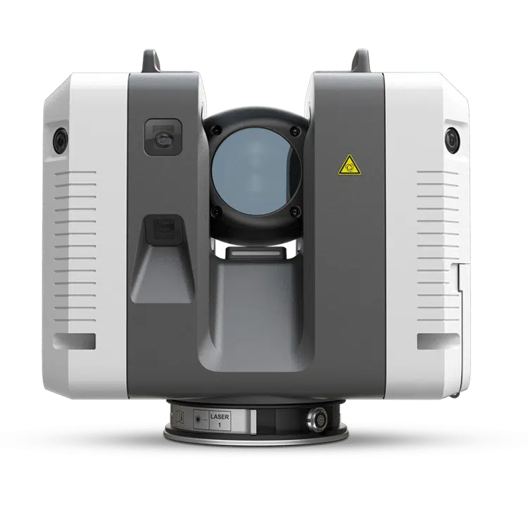
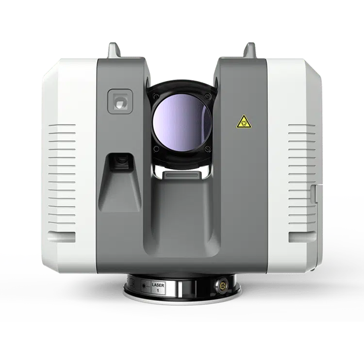
Up to 2,000,000 pts / sec
Up to 1,000,000 pts / sec
<2 mins for complete full dome scan and spherical HDR image at 6mm @ 10 m resolution
<3 mins for complete full dome scan and spherical HDR image at 6mm @ 10 m resolution
Min. 0.5 – up to 130 m
Min. 0.5 – up to 130 m
3 user selectable settings (3/6/12 mm @ 10 m)
3 user selectable settings (3/6/12 mm @ 10 m)
✓
✓
The bigger the job, the more often people and machines are moving through it.
Workers, pedestrians, machinery, cars — moving things in the scanner’s field of view create ghost points that need to be removed in post.
When set to Double Scan, the RTC360 takes two passes, compares the data from each to detect the moving objects, removes them, and then reduces the data to a single scan.
✓
✓
VIS combines IMU data and live video to record where it is and how its position changes from one setup to the next, then automatically pre-registers a point cloud as it is captured.
In Leica Cyclone FIELD, the operator can view the point cloud to verify coverage, avoiding time wasters like over-scanning or having to make a return trip. Back at the office, start inspecting and sdjusting a pre-registered point cloud instead of assembling it one setup at a time.
Copyright © 2024 Insight Services & Co, LLC. All Rights Reserved.
Copyright © 2024 Insight Services & Co, LLC. All Rights Reserved.